Broad Street nears the A143
Introduction
The photograph on this page of Broad Street nears the A143 by Robin Webster as part of the Geograph project.
The Geograph project started in 2005 with the aim of publishing, organising and preserving representative images for every square kilometre of Great Britain, Ireland and the Isle of Man.

There are currently over 7.5m images from over 14,400 individuals and you can help contribute to the project by visiting https://www.geograph.org.uk
Broad Street nears the A143
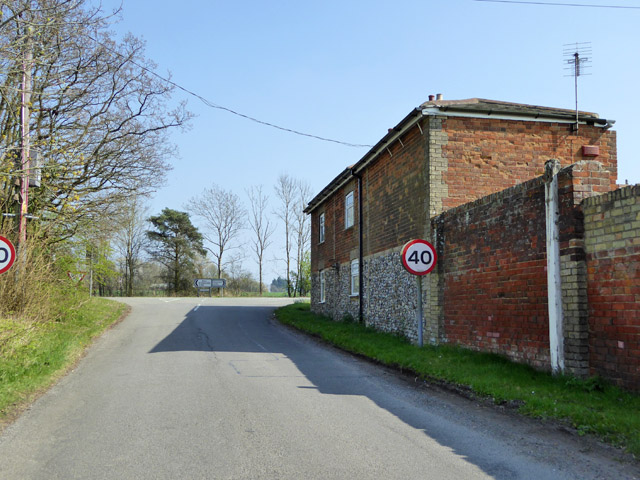
Image: © Robin Webster Taken: 8 Apr 2017
On the right is the side of the former Royal Oak Inn, now a house.
Images are licensed for reuse under creativecommons.org/licenses/by-sa/2.0
Image Location
Latitude
52.137902
Longitude
0.499166