Footpath EE365 behind the Coach & Horses
Introduction
The photograph on this page of Footpath EE365 behind the Coach & Horses by Hugh Craddock as part of the Geograph project.
The Geograph project started in 2005 with the aim of publishing, organising and preserving representative images for every square kilometre of Great Britain, Ireland and the Isle of Man.

There are currently over 7.5m images from over 14,400 individuals and you can help contribute to the project by visiting https://www.geograph.org.uk
Footpath EE365 behind the Coach & Horses
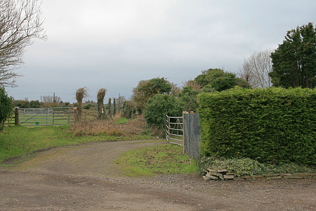
Image: © Hugh Craddock Taken: 21 Feb 2017
Footpath EE365 to Finglesham begins in the car park of the Coach & Horses, and continues along South Stream in the course of former Finglesham Drove.
Images are licensed for reuse under creativecommons.org/licenses/by-sa/2.0
Image Location


Leaflet Map data © OpenStreetMap
Latitude
51.237337
Longitude
1.354277