Barn and ruins at Gyrn-fawr
Introduction
The photograph on this page of Barn and ruins at Gyrn-fawr by Gordon Hatton as part of the Geograph project.
The Geograph project started in 2005 with the aim of publishing, organising and preserving representative images for every square kilometre of Great Britain, Ireland and the Isle of Man.

There are currently over 7.5m images from over 14,400 individuals and you can help contribute to the project by visiting https://www.geograph.org.uk
Barn and ruins at Gyrn-fawr
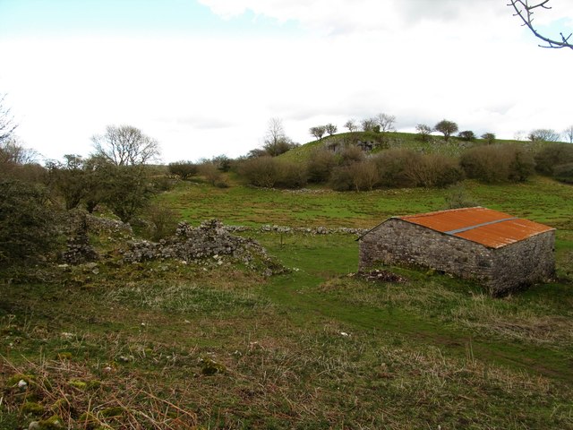
Image: © Gordon Hatton Taken: 2 Apr 2017
An abandoned and ruined farmstead shown as Gyrn-fawr on old six inch maps. Reasonably dry ground here on limestone.
Images are licensed for reuse under creativecommons.org/licenses/by-sa/2.0
Image Location
Latitude
51.808239
Longitude
-3.573996