Modern developments
Introduction
The photograph on this page of Modern developments by Bob Harvey as part of the Geograph project.
The Geograph project started in 2005 with the aim of publishing, organising and preserving representative images for every square kilometre of Great Britain, Ireland and the Isle of Man.

There are currently over 7.5m images from over 14,400 individuals and you can help contribute to the project by visiting https://www.geograph.org.uk
Modern developments
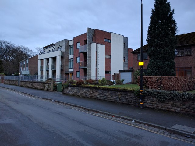
Image: © Bob Harvey Taken: 22 Feb 2017
I am unsure if this development postdates the millennium, but if it was built in the 20th Century it will have been during the last decade.
Images are licensed for reuse under creativecommons.org/licenses/by-sa/2.0
Image Location
Latitude
53.424024
Longitude
-2.312814