Canal basin
Introduction
The photograph on this page of Canal basin by Gary McNulty as part of the Geograph project.
The Geograph project started in 2005 with the aim of publishing, organising and preserving representative images for every square kilometre of Great Britain, Ireland and the Isle of Man.

There are currently over 7.5m images from over 14,400 individuals and you can help contribute to the project by visiting https://www.geograph.org.uk
Canal basin
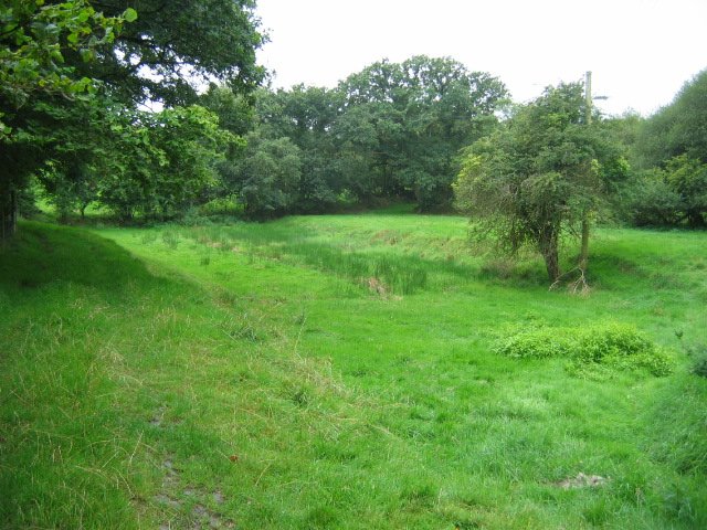
Image: © Gary McNulty Taken: 14 Aug 2007
The depression shown in the picture was a basin on the Launceston branch of the Bude Canal, which was constructed in the 1820s and ceased to operate in about 1891. More excellent info on this is available at http://www.bude-canal.co.uk/
Images are licensed for reuse under creativecommons.org/licenses/by-sa/2.0
Image Location


Leaflet Map data © OpenStreetMap
Latitude
50.705373
Longitude
-4.371811