Roadside stream, Manmoel Road
Introduction
The photograph on this page of Roadside stream, Manmoel Road by M J Roscoe as part of the Geograph project.
The Geograph project started in 2005 with the aim of publishing, organising and preserving representative images for every square kilometre of Great Britain, Ireland and the Isle of Man.

There are currently over 7.5m images from over 14,400 individuals and you can help contribute to the project by visiting https://www.geograph.org.uk
Roadside stream, Manmoel Road
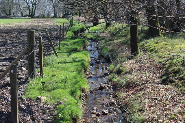
Image: © M J Roscoe Taken: 6 Apr 2017
Looking downstream alongside Manmoel Road, near Penyfan Caravan Rark; the field on the left is used by horses.
Images are licensed for reuse under creativecommons.org/licenses/by-sa/2.0
Image Location
Latitude
51.703322
Longitude
-3.172527