Historical garden wall of Lauriston Castle
Introduction
The photograph on this page of Historical garden wall of Lauriston Castle by C Michael Hogan as part of the Geograph project.
The Geograph project started in 2005 with the aim of publishing, organising and preserving representative images for every square kilometre of Great Britain, Ireland and the Isle of Man.

There are currently over 7.5m images from over 14,400 individuals and you can help contribute to the project by visiting https://www.geograph.org.uk
Historical garden wall of Lauriston Castle
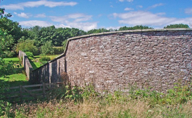
Image: © C Michael Hogan Taken: 8 Aug 2007
This is the northeast corner of the garden wall. A small piece of the garden is visible at the left centre of the image. The garden wall is approximately 3.6 metres high and thus it is difficult to photograph the garden interior.
Images are licensed for reuse under creativecommons.org/licenses/by-sa/2.0
Image Location
Latitude
56.791234
Longitude
-2.391539