Open area, Hadleigh
Introduction
The photograph on this page of Open area, Hadleigh by Hamish Griffin as part of the Geograph project.
The Geograph project started in 2005 with the aim of publishing, organising and preserving representative images for every square kilometre of Great Britain, Ireland and the Isle of Man.

There are currently over 7.5m images from over 14,400 individuals and you can help contribute to the project by visiting https://www.geograph.org.uk
Open area, Hadleigh
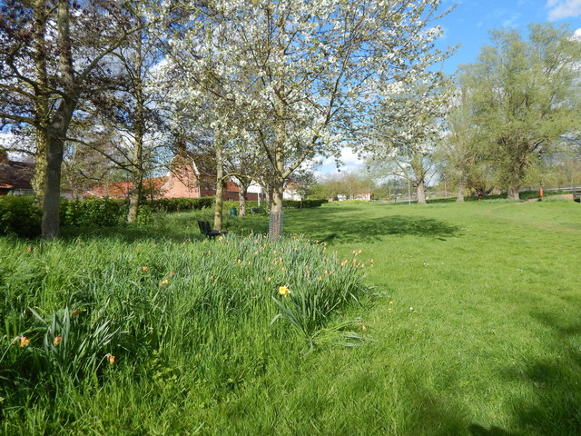
Image: © Hamish Griffin Taken: 25 Apr 2015
The houses on the left are on Corks Lane, which leads onto Bridge Street.
Images are licensed for reuse under creativecommons.org/licenses/by-sa/2.0
Image Location
Latitude
52.047739
Longitude
0.948764