Pen Wallis, looking north to Fishguard Bay
Introduction
The photograph on this page of Pen Wallis, looking north to Fishguard Bay by Natasha Ceridwen de Chroustchoff as part of the Geograph project.
The Geograph project started in 2005 with the aim of publishing, organising and preserving representative images for every square kilometre of Great Britain, Ireland and the Isle of Man.

There are currently over 7.5m images from over 14,400 individuals and you can help contribute to the project by visiting https://www.geograph.org.uk
Pen Wallis, looking north to Fishguard Bay
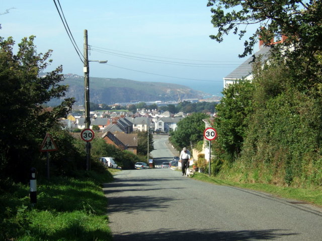
Image: © Natasha Ceridwen de Chroustchoff Taken: 22 Aug 2007
This is the highest point of the town, on the southern edge, looking down Wallis Street and out towards the harbour at Goodwick. Much of the housing in this area dates from the latter part of the C20.
Images are licensed for reuse under creativecommons.org/licenses/by-sa/2.0
Image Location
Latitude
51.989338
Longitude
-4.974549