Behind Easter Dalnabreck
Introduction
The photograph on this page of Behind Easter Dalnabreck by Richard Webb as part of the Geograph project.
The Geograph project started in 2005 with the aim of publishing, organising and preserving representative images for every square kilometre of Great Britain, Ireland and the Isle of Man.

There are currently over 7.5m images from over 14,400 individuals and you can help contribute to the project by visiting https://www.geograph.org.uk
Behind Easter Dalnabreck
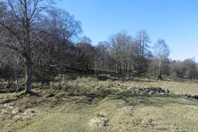
Image: © Richard Webb Taken: 25 Mar 2017
Path through land that was once enclosed. Uphill of here there is a wooded hillside merging into moorland.
Images are licensed for reuse under creativecommons.org/licenses/by-sa/2.0
Image Location
Latitude
56.678438
Longitude
-3.483904