Kingsettle Hill
Introduction
The photograph on this page of Kingsettle Hill by Robin Webster as part of the Geograph project.
The Geograph project started in 2005 with the aim of publishing, organising and preserving representative images for every square kilometre of Great Britain, Ireland and the Isle of Man.

There are currently over 7.5m images from over 14,400 individuals and you can help contribute to the project by visiting https://www.geograph.org.uk
Kingsettle Hill
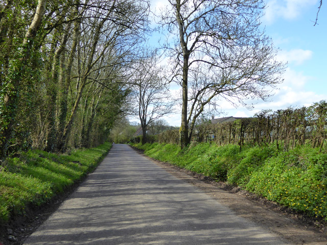
Image: © Robin Webster Taken: 2 Apr 2017
Tower Road Farm is ahead on the right, so perhaps this road has reverted to its name at the eastern end after the steepest part of its descent. Posted road names are very rare around here.
Images are licensed for reuse under creativecommons.org/licenses/by-sa/2.0
Image Location
Latitude
51.109943
Longitude
-2.393204