Lane under A303
Introduction
The photograph on this page of Lane under A303 by Robin Webster as part of the Geograph project.
The Geograph project started in 2005 with the aim of publishing, organising and preserving representative images for every square kilometre of Great Britain, Ireland and the Isle of Man.

There are currently over 7.5m images from over 14,400 individuals and you can help contribute to the project by visiting https://www.geograph.org.uk
Lane under A303
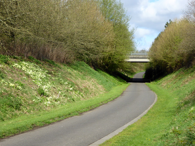
Image: © Robin Webster Taken: 2 Apr 2017
A diversion from the original route, which was severed when the A303 bypassed Zeals. The exposure of subsoil on the left is favoured by primroses.
Images are licensed for reuse under creativecommons.org/licenses/by-sa/2.0
Image Location
Latitude
51.085386
Longitude
-2.305763