Road through Taynton
Introduction
The photograph on this page of Road through Taynton by Pauline E as part of the Geograph project.
The Geograph project started in 2005 with the aim of publishing, organising and preserving representative images for every square kilometre of Great Britain, Ireland and the Isle of Man.

There are currently over 7.5m images from over 14,400 individuals and you can help contribute to the project by visiting https://www.geograph.org.uk
Road through Taynton
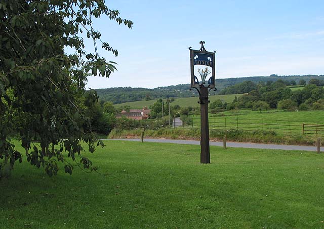
Image: © Pauline E Taken: 23 Aug 2007
The B4216 makes a sharp bend at this pretty spot. The red brick building by the roadside is Lynes Place and the distinctive clump of treep on top of May Hill can be seen in the distance.
Images are licensed for reuse under creativecommons.org/licenses/by-sa/2.0
Image Location
Latitude
51.893896
Longitude
-2.398125