Bishop Park Estate (1), Henfield
Introduction
The photograph on this page of Bishop Park Estate (1), Henfield by Simon Carey as part of the Geograph project.
The Geograph project started in 2005 with the aim of publishing, organising and preserving representative images for every square kilometre of Great Britain, Ireland and the Isle of Man.

There are currently over 7.5m images from over 14,400 individuals and you can help contribute to the project by visiting https://www.geograph.org.uk
Bishop Park Estate (1), Henfield
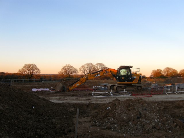
Image: © Simon Carey Taken: 25 Mar 2017
A new housing estate in the process of construction o the western edge of the village and bounded by West End Lane, Stonepit Lane and the Downs Link. The estate was begun in 2016 and will probably be completed by the end of 2017. This section to the north of the public footpath and near Stonepit Cottage was a field called Nine Acres on Henfield's 1844 tithe map.
Images are licensed for reuse under creativecommons.org/licenses/by-sa/2.0
Image Location
Latitude
50.934055
Longitude
-0.288951