Former rectory, Heol Fawr/High Street
Introduction
The photograph on this page of Former rectory, Heol Fawr/High Street by Natasha Ceridwen de Chroustchoff as part of the Geograph project.
The Geograph project started in 2005 with the aim of publishing, organising and preserving representative images for every square kilometre of Great Britain, Ireland and the Isle of Man.

There are currently over 7.5m images from over 14,400 individuals and you can help contribute to the project by visiting https://www.geograph.org.uk
Former rectory, Heol Fawr/High Street
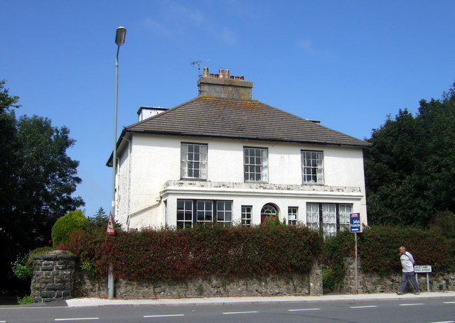
Image: © Natasha Ceridwen de Chroustchoff Taken: 22 Aug 2007
Llys Mair was built in 1830 for the Rev. Samuel Fenton and stands at the southern edge of the town. It has not been treated kindly over the years and the C20 extension at the front is especially regrettable.
Images are licensed for reuse under creativecommons.org/licenses/by-sa/2.0
Image Location
Latitude
51.99178
Longitude
-4.981121