Norwell and south to Watermill Farm: aerial 2017
Introduction
The photograph on this page of Norwell and south to Watermill Farm: aerial 2017 by Chris as part of the Geograph project.
The Geograph project started in 2005 with the aim of publishing, organising and preserving representative images for every square kilometre of Great Britain, Ireland and the Isle of Man.

There are currently over 7.5m images from over 14,400 individuals and you can help contribute to the project by visiting https://www.geograph.org.uk
Norwell and south to Watermill Farm: aerial 2017
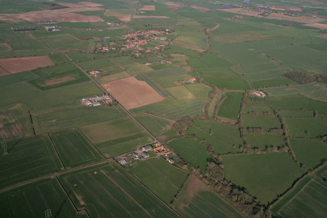
Image: © Chris Taken: 25 Mar 2017
Watermill ram is next to the Beck. Down the straight road on the left are Southfield Farm, Glebe Farm and Flags Farm.
Images are licensed for reuse under creativecommons.org/licenses/by-sa/2.0
Image Location
Latitude
53.145118
Longitude
-0.853081