Section of Roman Road in Modern Use near Malpas
Introduction
The photograph on this page of Section of Roman Road in Modern Use near Malpas by Peter Shone as part of the Geograph project.
The Geograph project started in 2005 with the aim of publishing, organising and preserving representative images for every square kilometre of Great Britain, Ireland and the Isle of Man.

There are currently over 7.5m images from over 14,400 individuals and you can help contribute to the project by visiting https://www.geograph.org.uk
Section of Roman Road in Modern Use near Malpas
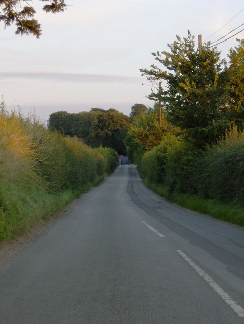
Image: © Peter Shone Taken: 22 Aug 2007
This section of Roman Road is not quite straight! It heads SSE through Malpas and on to Mediolanium (Modern day Whitchurch), originating from the Roman town of Bovium (modern day Tilston).
Images are licensed for reuse under creativecommons.org/licenses/by-sa/2.0
Image Location


Leaflet Map data © OpenStreetMap
Latitude
53.028751
Longitude
-2.772915