Half-timbered house near Newhouse Farm
Introduction
The photograph on this page of Half-timbered house near Newhouse Farm by Marathon as part of the Geograph project.
The Geograph project started in 2005 with the aim of publishing, organising and preserving representative images for every square kilometre of Great Britain, Ireland and the Isle of Man.

There are currently over 7.5m images from over 14,400 individuals and you can help contribute to the project by visiting https://www.geograph.org.uk
Half-timbered house near Newhouse Farm
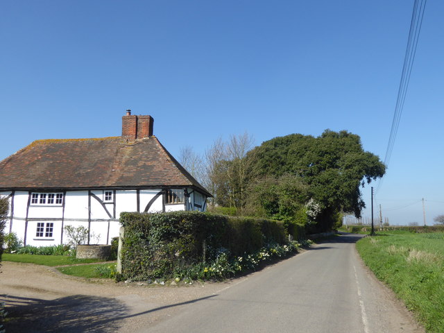
Image: © Marathon Taken: 28 Mar 2017
This is Winding Hill, while at the junction just ahead it meets Owen's Court Road and becomes Newhouse Lane.
Images are licensed for reuse under creativecommons.org/licenses/by-sa/2.0
Image Location
Latitude
51.277118
Longitude
0.899125