Junction, St Cadix
Introduction
The photograph on this page of Junction, St Cadix by Derek Harper as part of the Geograph project.
The Geograph project started in 2005 with the aim of publishing, organising and preserving representative images for every square kilometre of Great Britain, Ireland and the Isle of Man.

There are currently over 7.5m images from over 14,400 individuals and you can help contribute to the project by visiting https://www.geograph.org.uk
Junction, St Cadix
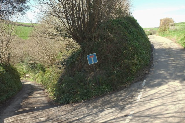
Image: © Derek Harper Taken: 25 Mar 2017
The "main" lane is from Penpoll to Haye Farm, a very circuitous route (see Image]). The left turn is followed by footpath 634 9/1, a mere 200 metres long, which ends at St Cyric's Creek by a listed C18 house whose garden contains the possible remains of a Cluniac Priory. Sounds intriguing, but I found nowhere to park. I'll investigate when I do my coast walk round Britain, which I've been planning for nearly 40 years. Ha!
Images are licensed for reuse under creativecommons.org/licenses/by-sa/2.0
Image Location


Leaflet Map data © OpenStreetMap
Latitude
50.36248
Longitude
-4.624086