Crundale Avenue
Introduction
The photograph on this page of Crundale Avenue by Watling as part of the Geograph project.
The Geograph project started in 2005 with the aim of publishing, organising and preserving representative images for every square kilometre of Great Britain, Ireland and the Isle of Man.

There are currently over 7.5m images from over 14,400 individuals and you can help contribute to the project by visiting https://www.geograph.org.uk
Crundale Avenue
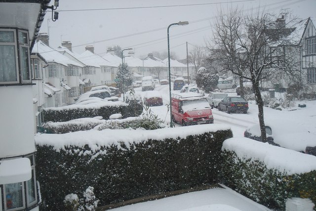
Image: © Watling Taken: 2 Feb 2009
Taken from the bend in Crundale Avenue, a hazard for speeding cars. 1930s houses line its western side (left of the photo) and older Tudorbethan houses its eastern (right of the photo). The western side sits at lower ground level and is more prone to flooding.
Images are licensed for reuse under creativecommons.org/licenses/by-sa/2.0
Image Location
Latitude
51.584862
Longitude
-0.277029