Looking up The Downs
Introduction
The photograph on this page of Looking up The Downs by Richard Sutcliffe as part of the Geograph project.
The Geograph project started in 2005 with the aim of publishing, organising and preserving representative images for every square kilometre of Great Britain, Ireland and the Isle of Man.

There are currently over 7.5m images from over 14,400 individuals and you can help contribute to the project by visiting https://www.geograph.org.uk
Looking up The Downs
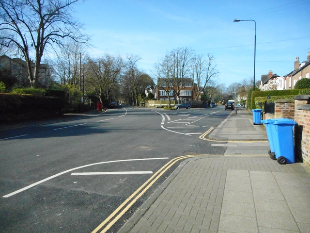
Image: © Richard Sutcliffe Taken: 27 Mar 2017
The Downs carry on up to the right before becoming Higher Downs. Delamer Road bears round to the left.
Images are licensed for reuse under creativecommons.org/licenses/by-sa/2.0
Image Location
Latitude
53.383458
Longitude
-2.354762