Harmston and its Crescent: aerial 2017
Introduction
The photograph on this page of Harmston and its Crescent: aerial 2017 by Chris as part of the Geograph project.
The Geograph project started in 2005 with the aim of publishing, organising and preserving representative images for every square kilometre of Great Britain, Ireland and the Isle of Man.

There are currently over 7.5m images from over 14,400 individuals and you can help contribute to the project by visiting https://www.geograph.org.uk
Harmston and its Crescent: aerial 2017
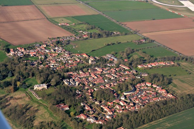
Image: © Chris Taken: 25 Mar 2017
I have placed this picture in this square to focus on the crescent-shaped building. For more Harmston see Image To look at it from the ground see Image I was surprised to see that it is new, and not a historic building!
Images are licensed for reuse under creativecommons.org/licenses/by-sa/2.0
Image Location
Latitude
53.145917
Longitude
-0.547442