New House, Dirt Pot
Introduction
The photograph on this page of New House, Dirt Pot by Mike Quinn as part of the Geograph project.
The Geograph project started in 2005 with the aim of publishing, organising and preserving representative images for every square kilometre of Great Britain, Ireland and the Isle of Man.

There are currently over 7.5m images from over 14,400 individuals and you can help contribute to the project by visiting https://www.geograph.org.uk
New House, Dirt Pot
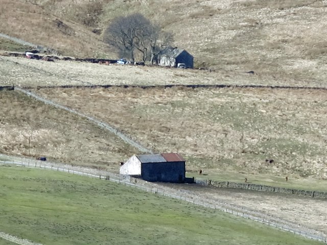
Image: © Mike Quinn Taken: 26 Mar 2017
Beyond is the ruined farmhouse above Blackcleugh Burn - see http://www.geograph.org.uk/search.php?i=70568399 . The location of the disused building can be seen in Image
Images are licensed for reuse under creativecommons.org/licenses/by-sa/2.0
Image Location
Latitude
54.807026
Longitude
-2.231622