Old Bank Buildings, Seaforth Road
Introduction
The photograph on this page of Old Bank Buildings, Seaforth Road by Craig Wallace as part of the Geograph project.
The Geograph project started in 2005 with the aim of publishing, organising and preserving representative images for every square kilometre of Great Britain, Ireland and the Isle of Man.

There are currently over 7.5m images from over 14,400 individuals and you can help contribute to the project by visiting https://www.geograph.org.uk
Old Bank Buildings, Seaforth Road
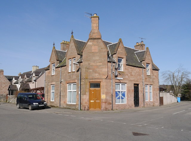
Image: © Craig Wallace Taken: 27 Mar 2017
On the corner of Seaforth Road and Balvaird Road, in Muir of Ord. From the name, presumably this was once a bank. I don't know anything about the history, or when it was last used as a bank. It looks like it is now housing.
Images are licensed for reuse under creativecommons.org/licenses/by-sa/2.0
Image Location
Latitude
57.518605
Longitude
-4.458647