St Michael's Road, Chell
Introduction
The photograph on this page of St Michael's Road, Chell by Stephen McKay as part of the Geograph project.
The Geograph project started in 2005 with the aim of publishing, organising and preserving representative images for every square kilometre of Great Britain, Ireland and the Isle of Man.

There are currently over 7.5m images from over 14,400 individuals and you can help contribute to the project by visiting https://www.geograph.org.uk
St Michael's Road, Chell
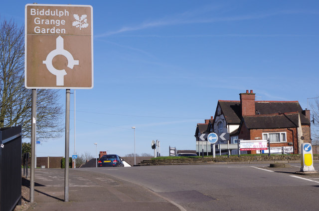
Image: © Stephen McKay Taken: 24 Mar 2017
St Michael's Road, the A527, becomes Biddulph Road after the roundabout; High lane leads off to the right. The pub is the Hazlehurst Arms and the large brown sign indicates the way to the National Trust's Biddulph Grange Garden.
Images are licensed for reuse under creativecommons.org/licenses/by-sa/2.0
Image Location
Latitude
53.071464
Longitude
-2.195328