Over the field to Rosebank Farm
Introduction
The photograph on this page of Over the field to Rosebank Farm by Jonathan Billinger as part of the Geograph project.
The Geograph project started in 2005 with the aim of publishing, organising and preserving representative images for every square kilometre of Great Britain, Ireland and the Isle of Man.

There are currently over 7.5m images from over 14,400 individuals and you can help contribute to the project by visiting https://www.geograph.org.uk
Over the field to Rosebank Farm
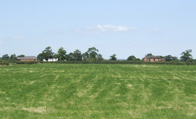
Image: © Jonathan Billinger Taken: 22 Aug 2007
This view north from Top Farm Lane follows the line of a footpath across the cropped silage field.
Images are licensed for reuse under creativecommons.org/licenses/by-sa/2.0
Image Location
Latitude
53.125693
Longitude
-2.557068