Former Potteries Loop Line, near Kidsgrove
Introduction
The photograph on this page of Former Potteries Loop Line, near Kidsgrove by Stephen McKay as part of the Geograph project.
The Geograph project started in 2005 with the aim of publishing, organising and preserving representative images for every square kilometre of Great Britain, Ireland and the Isle of Man.

There are currently over 7.5m images from over 14,400 individuals and you can help contribute to the project by visiting https://www.geograph.org.uk
Former Potteries Loop Line, near Kidsgrove
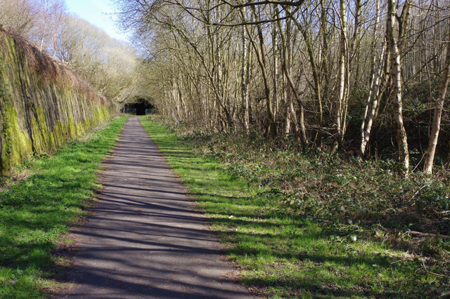
Image: © Stephen McKay Taken: 24 Mar 2017
The Potteries Loop Line ran from Etruria to Kidsgrove via Hanley and Tunstall. Passenger services were withdrawn in 1964 although freight continued on some sections until the mid-1970s. Today this stretch has been converted into a footpath and cycleway.
Images are licensed for reuse under creativecommons.org/licenses/by-sa/2.0
Image Location
Latitude
53.085243
Longitude
-2.230774