Rural Monmouthshire in late March 2017
Introduction
The photograph on this page of Rural Monmouthshire in late March 2017 by Jaggery as part of the Geograph project.
The Geograph project started in 2005 with the aim of publishing, organising and preserving representative images for every square kilometre of Great Britain, Ireland and the Isle of Man.

There are currently over 7.5m images from over 14,400 individuals and you can help contribute to the project by visiting https://www.geograph.org.uk
Rural Monmouthshire in late March 2017
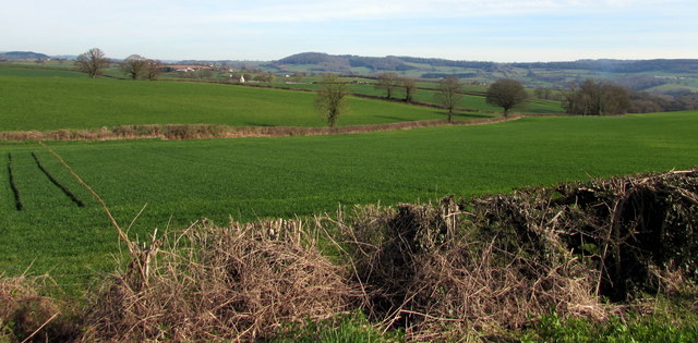
Image: © Jaggery Taken: 26 Mar 2017
Viewed from the B4233, a rural B-road from Abergavenny to Monmouth, looking towards Whitehill Lane near Rockfield.
Images are licensed for reuse under creativecommons.org/licenses/by-sa/2.0
Image Location
Latitude
51.828621
Longitude
-2.762498