Scotia Valley Greenway
Introduction
The photograph on this page of Scotia Valley Greenway by Stephen McKay as part of the Geograph project.
The Geograph project started in 2005 with the aim of publishing, organising and preserving representative images for every square kilometre of Great Britain, Ireland and the Isle of Man.

There are currently over 7.5m images from over 14,400 individuals and you can help contribute to the project by visiting https://www.geograph.org.uk
Scotia Valley Greenway
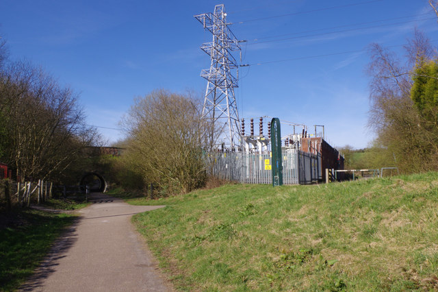
Image: © Stephen McKay Taken: 24 Mar 2017
The green sign in front of the electricity substation identifies this as the Scotia Valley Greenway although the name does not seem to be generally well promoted. It is in fact part of the former Potteries Loop railway that ran from Etruria to Kidsgrove; passenger services were withdrawn in 1964 although some sections continued to see freight trains until the mid-1970s.
Images are licensed for reuse under creativecommons.org/licenses/by-sa/2.0
Image Location
Latitude
53.080611
Longitude
-2.208208