Old and new roads, Widham Bridge
Introduction
The photograph on this page of Old and new roads, Widham Bridge by Robin Webster as part of the Geograph project.
The Geograph project started in 2005 with the aim of publishing, organising and preserving representative images for every square kilometre of Great Britain, Ireland and the Isle of Man.

There are currently over 7.5m images from over 14,400 individuals and you can help contribute to the project by visiting https://www.geograph.org.uk
Old and new roads, Widham Bridge
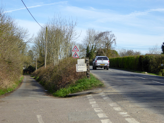
Image: © Robin Webster Taken: 25 Mar 2017
The original course of the road before the railway (opened 1841) on the left, road over railway bridge on the right. The lower road on each side of the railway then served as approaches to Purton station, which closed in 1964, although the railway remains open.
Images are licensed for reuse under creativecommons.org/licenses/by-sa/2.0
Image Location
Latitude
51.593292
Longitude
-1.865845