Grassy track leading down from the Severn Way to the river
Introduction
The photograph on this page of Grassy track leading down from the Severn Way to the river by Stephen Whittaker and Katharine Oakeshott as part of the Geograph project.
The Geograph project started in 2005 with the aim of publishing, organising and preserving representative images for every square kilometre of Great Britain, Ireland and the Isle of Man.

There are currently over 7.5m images from over 14,400 individuals and you can help contribute to the project by visiting https://www.geograph.org.uk
Grassy track leading down from the Severn Way to the river
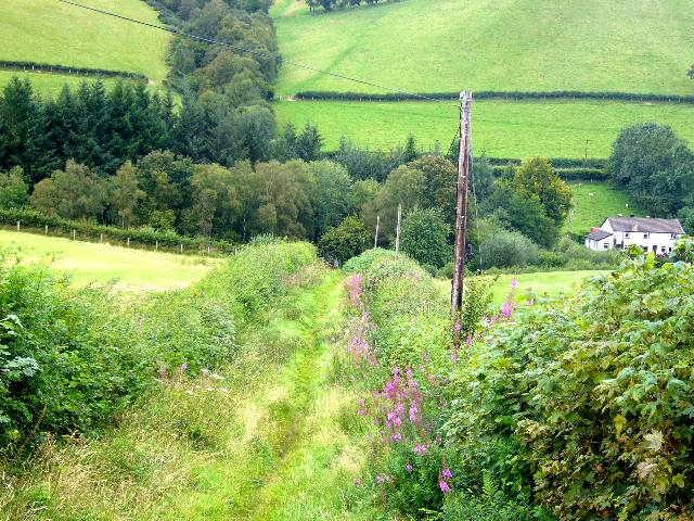
Image: © Stephen Whittaker and Katharine Oakeshott Taken: 19 Aug 2007
The footbridge can just be discerned at the bottom of the track
Images are licensed for reuse under creativecommons.org/licenses/by-sa/2.0
Image Location


Leaflet Map data © OpenStreetMap
Latitude
52.450144
Longitude
-3.579718