Public shelter near the seawall, Porthcawl
Introduction
The photograph on this page of Public shelter near the seawall, Porthcawl by Jaggery as part of the Geograph project.
The Geograph project started in 2005 with the aim of publishing, organising and preserving representative images for every square kilometre of Great Britain, Ireland and the Isle of Man.

There are currently over 7.5m images from over 14,400 individuals and you can help contribute to the project by visiting https://www.geograph.org.uk
Public shelter near the seawall, Porthcawl
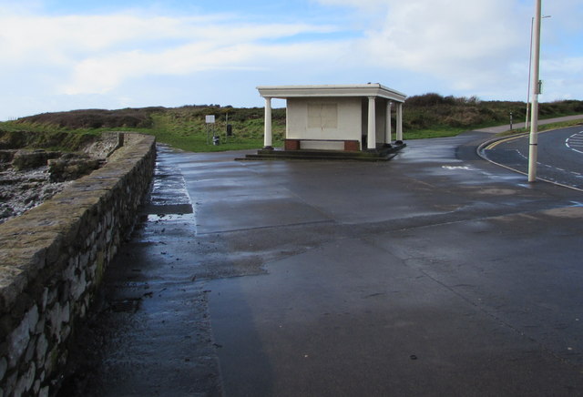
Image: © Jaggery Taken: 27 Feb 2017
Located opposite West Drive near the point where the coastal road becomes Mallard Way.
Images are licensed for reuse under creativecommons.org/licenses/by-sa/2.0
Image Location
Latitude
51.479562
Longitude
-3.716311