Fordington: Low Plantation
Introduction
The photograph on this page of Fordington: Low Plantation by Chris as part of the Geograph project.
The Geograph project started in 2005 with the aim of publishing, organising and preserving representative images for every square kilometre of Great Britain, Ireland and the Isle of Man.

There are currently over 7.5m images from over 14,400 individuals and you can help contribute to the project by visiting https://www.geograph.org.uk
Fordington: Low Plantation
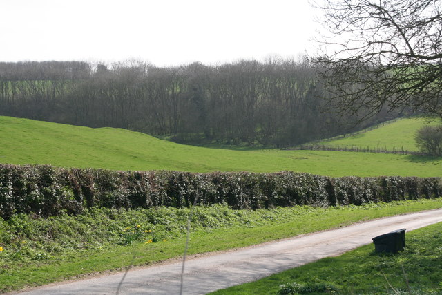
Image: © Chris Taken: 23 Mar 2017
A medieval village site is marked a few hundred yards to the east, and the undulating field seen here may be part of it.
Images are licensed for reuse under creativecommons.org/licenses/by-sa/2.0
Image Location
Latitude
53.220112
Longitude
0.121921