Bus stops and shelters, Antrim Road, Belfast (March 2017)
Introduction
The photograph on this page of Bus stops and shelters, Antrim Road, Belfast (March 2017) by Albert Bridge as part of the Geograph project.
The Geograph project started in 2005 with the aim of publishing, organising and preserving representative images for every square kilometre of Great Britain, Ireland and the Isle of Man.

There are currently over 7.5m images from over 14,400 individuals and you can help contribute to the project by visiting https://www.geograph.org.uk
Bus stops and shelters, Antrim Road, Belfast (March 2017)
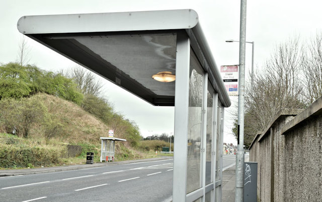
Image: © Albert Bridge Taken: 23 Mar 2017
Inward (foreground) and outward bus stops and shelters on the Antrim Road. The M2 Bellevue Bridge is in the background.
Images are licensed for reuse under creativecommons.org/licenses/by-sa/2.0
Image Location
Latitude
54.662839
Longitude
-5.946891