Westfield Crescent, Nottage, Porthcawl
Introduction
The photograph on this page of Westfield Crescent, Nottage, Porthcawl by Jaggery as part of the Geograph project.
The Geograph project started in 2005 with the aim of publishing, organising and preserving representative images for every square kilometre of Great Britain, Ireland and the Isle of Man.

There are currently over 7.5m images from over 14,400 individuals and you can help contribute to the project by visiting https://www.geograph.org.uk
Westfield Crescent, Nottage, Porthcawl
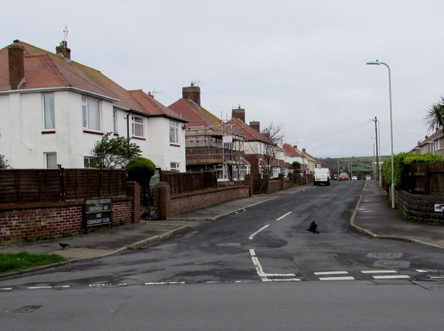
Image: © Jaggery Taken: 16 Mar 2017
Viewed across West Road. The sign on the left http://www.geograph.org.uk/photo/5320377 shows that Westfield Crescent leads to Greenfield Way and Connaught Close.
Images are licensed for reuse under creativecommons.org/licenses/by-sa/2.0
Image Location
Latitude
51.493909
Longitude
-3.706766