Dramway path
Introduction
The photograph on this page of Dramway path by Neil Owen as part of the Geograph project.
The Geograph project started in 2005 with the aim of publishing, organising and preserving representative images for every square kilometre of Great Britain, Ireland and the Isle of Man.

There are currently over 7.5m images from over 14,400 individuals and you can help contribute to the project by visiting https://www.geograph.org.uk
Dramway path
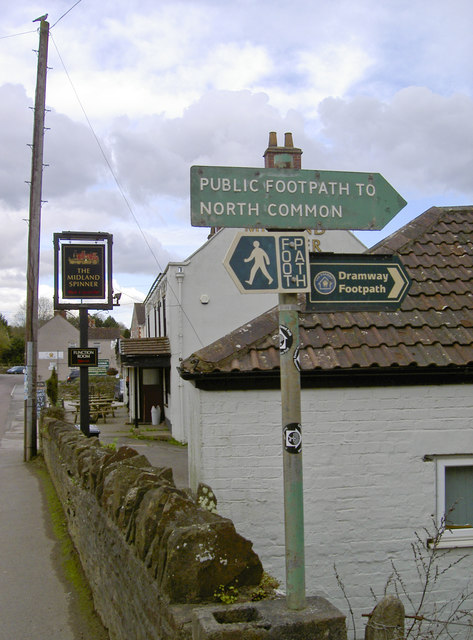
Image: © Neil Owen Taken: 21 Mar 2017
The old colliery area to the north and east of early Bristol produced many tons of coal. Transporting the goods to a more connected site nearer the River Avon necessitated the creation of a small gauge railway - the Dramway. Originally powered by horse and later by engines, it has now become a popular footpath. North Common is a mile or so to the south.
Images are licensed for reuse under creativecommons.org/licenses/by-sa/2.0
Image Location
Latitude
51.459515
Longitude
-2.474359