High St Witney
Introduction
The photograph on this page of High St Witney by Nigel Mykura as part of the Geograph project.
The Geograph project started in 2005 with the aim of publishing, organising and preserving representative images for every square kilometre of Great Britain, Ireland and the Isle of Man.

There are currently over 7.5m images from over 14,400 individuals and you can help contribute to the project by visiting https://www.geograph.org.uk
High St Witney
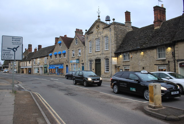
Image: © Nigel Mykura Taken: 25 Feb 2017
The prominent old building with the clock is Witney Blanket Hall. The road leads down to the bridge over the River Windrush, one of the main ributaries of the Thames. The road sign shows the roundabout for the A 4095 and the B 4047.
Images are licensed for reuse under creativecommons.org/licenses/by-sa/2.0
Image Location
Latitude
51.78833
Longitude
-1.482959