Notre Dame High School
Introduction
The photograph on this page of Notre Dame High School by Thomas Nugent as part of the Geograph project.
The Geograph project started in 2005 with the aim of publishing, organising and preserving representative images for every square kilometre of Great Britain, Ireland and the Isle of Man.

There are currently over 7.5m images from over 14,400 individuals and you can help contribute to the project by visiting https://www.geograph.org.uk
Notre Dame High School
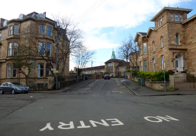
Image: © Thomas Nugent Taken: 19 Mar 2017
This view shows the location of the school on a hilltop amongst the grand houses of the heart of the West End. This was the site of an observatory, which gave its name to Observatory Road, from where this photo was taken.
Images are licensed for reuse under creativecommons.org/licenses/by-sa/2.0
Image Location
Latitude
55.877912
Longitude
-4.297772