Dry valley north of Woodway
Introduction
The photograph on this page of Dry valley north of Woodway by Simon Mortimer as part of the Geograph project.
The Geograph project started in 2005 with the aim of publishing, organising and preserving representative images for every square kilometre of Great Britain, Ireland and the Isle of Man.

There are currently over 7.5m images from over 14,400 individuals and you can help contribute to the project by visiting https://www.geograph.org.uk
Dry valley north of Woodway
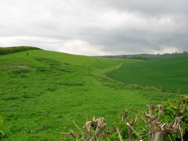
Image: © Simon Mortimer Taken: 8 May 2006
Looking east from Wycombe Road along an asymmetric dry valley. The steeper south-facing as permanent pasture and the shallow north-facing side winter wheat.
Images are licensed for reuse under creativecommons.org/licenses/by-sa/2.0
Image Location
Latitude
51.710122
Longitude
-0.832557