Handstanding
Introduction
The photograph on this page of Handstanding by Keith Evans as part of the Geograph project.
The Geograph project started in 2005 with the aim of publishing, organising and preserving representative images for every square kilometre of Great Britain, Ireland and the Isle of Man.

There are currently over 7.5m images from over 14,400 individuals and you can help contribute to the project by visiting https://www.geograph.org.uk
Handstanding
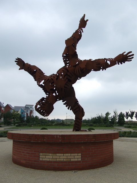
Image: © Keith Evans Taken: 21 Aug 2007
The sculpture called Handstanding on the Ravenswood housing development. In the distance can be seen the Green Wind on top of the tump for photo see http://www.geograph.org.uk/photo/531792
Images are licensed for reuse under creativecommons.org/licenses/by-sa/2.0
Image Location


Leaflet Map data © OpenStreetMap
Latitude
52.028557
Longitude
1.194494