Pebsham Farmhouse
Introduction
The photograph on this page of Pebsham Farmhouse by Patrick Roper as part of the Geograph project.
The Geograph project started in 2005 with the aim of publishing, organising and preserving representative images for every square kilometre of Great Britain, Ireland and the Isle of Man.

There are currently over 7.5m images from over 14,400 individuals and you can help contribute to the project by visiting https://www.geograph.org.uk
Pebsham Farmhouse
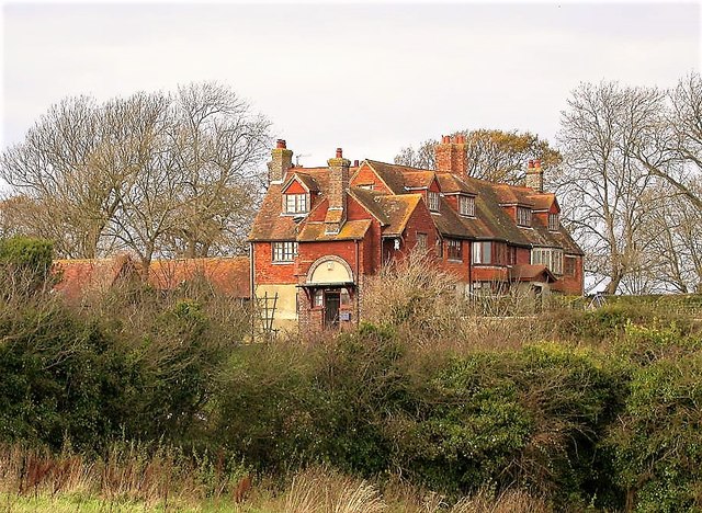
Image: © Patrick Roper Taken: 24 Oct 2001
This Grade II listed farmhouse was built in the early C16 and altered in the mid 17th century
Images are licensed for reuse under creativecommons.org/licenses/by-sa/2.0
Image Location
Latitude
50.853576
Longitude
0.506596