Vista Field
Introduction
The photograph on this page of Vista Field by Robin Webster as part of the Geograph project.
The Geograph project started in 2005 with the aim of publishing, organising and preserving representative images for every square kilometre of Great Britain, Ireland and the Isle of Man.

There are currently over 7.5m images from over 14,400 individuals and you can help contribute to the project by visiting https://www.geograph.org.uk
Vista Field
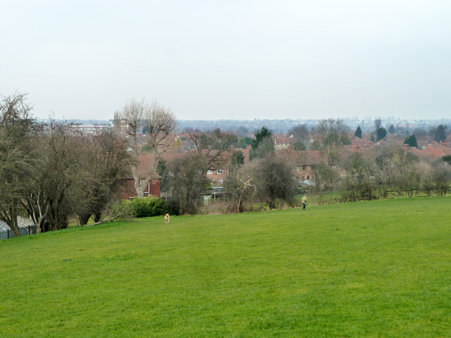
Image: © Robin Webster Taken: 4 Feb 2012
Probably what it is called, it has no park signs, but Vista Field Children's centre abuts it. It certainly has vistas.
Images are licensed for reuse under creativecommons.org/licenses/by-sa/2.0
Image Location
Latitude
51.445189
Longitude
0.043369