Alveston, Old Chapel
Introduction
The photograph on this page of Alveston, Old Chapel by Mike Faherty as part of the Geograph project.
The Geograph project started in 2005 with the aim of publishing, organising and preserving representative images for every square kilometre of Great Britain, Ireland and the Isle of Man.

There are currently over 7.5m images from over 14,400 individuals and you can help contribute to the project by visiting https://www.geograph.org.uk
Alveston, Old Chapel
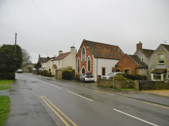
Image: © Mike Faherty Taken: 19 Mar 2017
Former chapel on The Down; dated 1883. Old OS maps show this as a Methodist chapel; now residential.
Images are licensed for reuse under creativecommons.org/licenses/by-sa/2.0
Image Location
Latitude
51.590882
Longitude
-2.536643