Demolition and construction, Kidbrooke
Introduction
The photograph on this page of Demolition and construction, Kidbrooke by Robin Webster as part of the Geograph project.
The Geograph project started in 2005 with the aim of publishing, organising and preserving representative images for every square kilometre of Great Britain, Ireland and the Isle of Man.

There are currently over 7.5m images from over 14,400 individuals and you can help contribute to the project by visiting https://www.geograph.org.uk
Demolition and construction, Kidbrooke
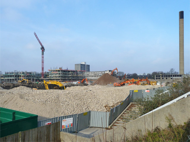
Image: © Robin Webster Taken: 4 Feb 2012
The 1960s concept of urban high density housing is replaced with the 2010s approach. All profit for the contractors and their associates.
Images are licensed for reuse under creativecommons.org/licenses/by-sa/2.0
Image Location
Latitude
51.461426
Longitude
0.024948