Pastures Farm, Yardley Hastings, seen across wheat stubble
Introduction
The photograph on this page of Pastures Farm, Yardley Hastings, seen across wheat stubble by David Hawgood as part of the Geograph project.
The Geograph project started in 2005 with the aim of publishing, organising and preserving representative images for every square kilometre of Great Britain, Ireland and the Isle of Man.

There are currently over 7.5m images from over 14,400 individuals and you can help contribute to the project by visiting https://www.geograph.org.uk
Pastures Farm, Yardley Hastings, seen across wheat stubble
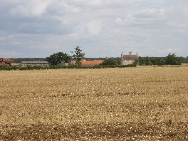
Image: © David Hawgood Taken: 13 Aug 2007
View from public footpath which joins the road to Olney. The wheat has been cut recently.
Images are licensed for reuse under creativecommons.org/licenses/by-sa/2.0
Image Location
Latitude
52.188692
Longitude
-0.725127