Burnside and Cherry Hinton Brook
Introduction
The photograph on this page of Burnside and Cherry Hinton Brook by John Sutton as part of the Geograph project.
The Geograph project started in 2005 with the aim of publishing, organising and preserving representative images for every square kilometre of Great Britain, Ireland and the Isle of Man.

There are currently over 7.5m images from over 14,400 individuals and you can help contribute to the project by visiting https://www.geograph.org.uk
Burnside and Cherry Hinton Brook
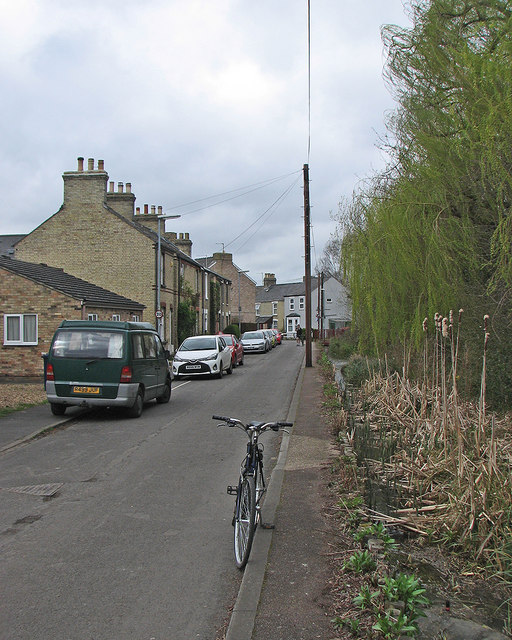
Image: © John Sutton Taken: 19 Mar 2017
The brook, which rises at Giant's Grave in Cherry Hinton, later becomes Coldham's Brook and joins the Cam at Stourbridge Common.
Images are licensed for reuse under creativecommons.org/licenses/by-sa/2.0
Image Location
Latitude
52.195547
Longitude
0.157355