Bear Cross: the dead end of Anchor Close
Introduction
The photograph on this page of Bear Cross: the dead end of Anchor Close by Chris Downer as part of the Geograph project.
The Geograph project started in 2005 with the aim of publishing, organising and preserving representative images for every square kilometre of Great Britain, Ireland and the Isle of Man.

There are currently over 7.5m images from over 14,400 individuals and you can help contribute to the project by visiting https://www.geograph.org.uk
Bear Cross: the dead end of Anchor Close
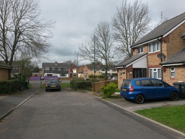
Image: © Chris Downer Taken: 18 Mar 2017
The end of Anchor Close does a little right-angled turn just behind us, to head back toward the main Ringwood Road without quite meeting it. To far left, a little public footpath does meet Ringwood Road, which we see in the background. See Image for a closer view of the footpath.
Images are licensed for reuse under creativecommons.org/licenses/by-sa/2.0
Image Location
Latitude
50.768868
Longitude
-1.919545