Marshy farmland at Thackthwaite
Introduction
The photograph on this page of Marshy farmland at Thackthwaite by Christine Johnstone as part of the Geograph project.
The Geograph project started in 2005 with the aim of publishing, organising and preserving representative images for every square kilometre of Great Britain, Ireland and the Isle of Man.

There are currently over 7.5m images from over 14,400 individuals and you can help contribute to the project by visiting https://www.geograph.org.uk
Marshy farmland at Thackthwaite
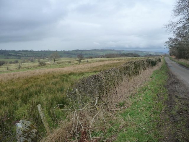
Image: © Christine Johnstone Taken: 10 Mar 2017
On the north side of the road to Dacre. About 275 metres above sea level.
Images are licensed for reuse under creativecommons.org/licenses/by-sa/2.0
Image Location


Leaflet Map data © OpenStreetMap
Latitude
54.620103
Longitude
-2.890903