Clifton Terrace, Malling Road, Ham Hill
Introduction
The photograph on this page of Clifton Terrace, Malling Road, Ham Hill by Stefan Czapski as part of the Geograph project.
The Geograph project started in 2005 with the aim of publishing, organising and preserving representative images for every square kilometre of Great Britain, Ireland and the Isle of Man.

There are currently over 7.5m images from over 14,400 individuals and you can help contribute to the project by visiting https://www.geograph.org.uk
Clifton Terrace, Malling Road, Ham Hill
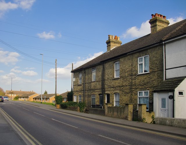
Image: © Stefan Czapski Taken: 15 Mar 2017
Fairly typical of older dwellings around here, and dated 1891 (according to a painted inscription at the far end). Snodland was originally a quarrying village, so this terrace may well have been built by a quarry company for the accommodation of its workers.
Images are licensed for reuse under creativecommons.org/licenses/by-sa/2.0
Image Location
Latitude
51.320823
Longitude
0.437837