Musbury Road, Axminster
Introduction
The photograph on this page of Musbury Road, Axminster by Jaggery as part of the Geograph project.
The Geograph project started in 2005 with the aim of publishing, organising and preserving representative images for every square kilometre of Great Britain, Ireland and the Isle of Man.

There are currently over 7.5m images from over 14,400 individuals and you can help contribute to the project by visiting https://www.geograph.org.uk
Musbury Road, Axminster
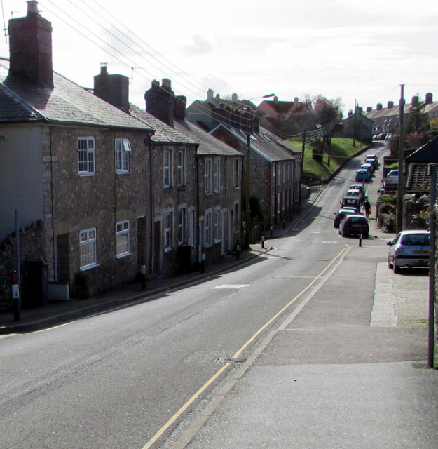
Image: © Jaggery Taken: 9 Mar 2017
This part of Musbury Road, heading away from the town centre, is unclassified. Out of shot, at the King Edward Road junction, Musbury Road becomes the A358 Musbury Road.
Images are licensed for reuse under creativecommons.org/licenses/by-sa/2.0
Image Location
Latitude
50.779538
Longitude
-2.999623